Follow the steps to access our data
- 1Register for an account
- 2Choose a product
- 3Select data
- 4Subscribe to your plan
- 5Get data via API
Explore our data
Atmospheric models
We offer GRIB2 data on a range of products that are sub-set by region, parameter, levels, time steps and model run.
- Global deterministic (10 km)
- UK deterministic (2 km) - standard
- UK deterministic (2 km) - latitude-longitude
- Met Office Global and Regional Ensemble Prediction System - Global
- Met Office Global and Regional Ensemble Prediction System - UK
Site-Specific forecast
The Met Office offers a range of products for users wanting to access and utilise Site-Specific forecasts. All Site-Specific forecast data is available either as deterministic or probabilistic forecasts to best suit your needs
Met Office Global Spot
Our Global Spot product is recommended for users who want to access Site-Specific forecasts in a deterministic way, to understand the “most likely” scenario for a weather forecast. We offer GeoJSON data via three APIs for a single specified location defined by latitude and longitude.
- Global hourly spot data 1.0.2
- Global three hourly spot data 1.0.2
- Global daily spot data 1.0.2
Met Office Site-Specific Blended Probabilistic Forecast – BETA
We have developed a new blended probabilistic forecast system that takes outputs from our Numerical Weather Prediction (NWP) models. We recommend this product for users who want to access Site-Specific forecasts in a probabilistic way, with the flexibility to select what data they need for their specific use.
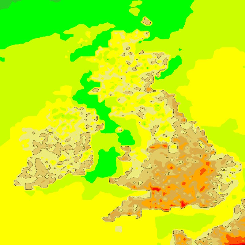
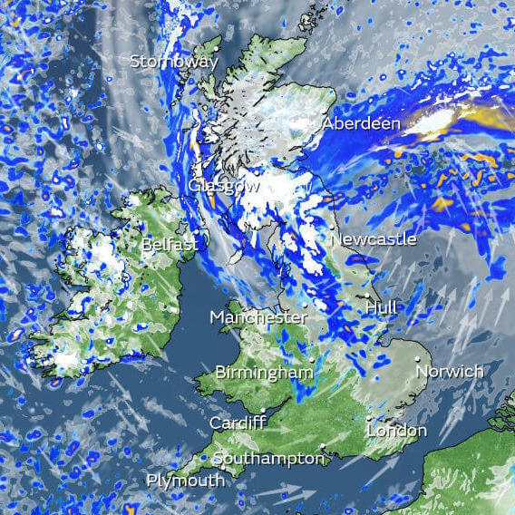
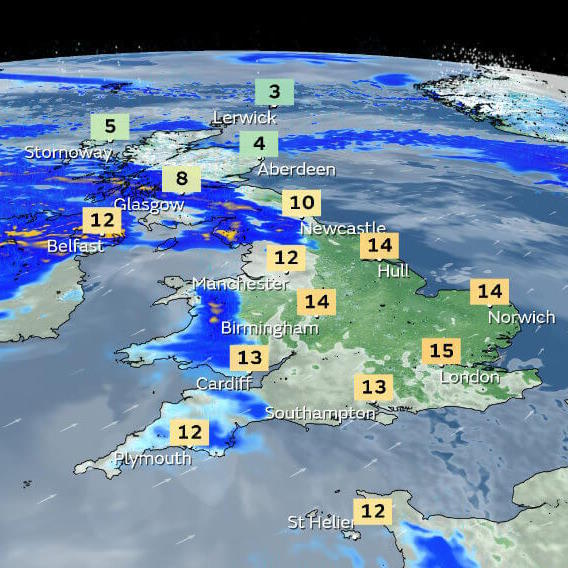
Map images
We offer PNG map images according to time step and model run for the following parameters:
- Temperature at the surface
- Precipitation rate
- Total cloud cover
- Pressure reduced to mean sea level